

Garmin Tread XL Overland, All-Terrain 10" GPS Navigator with inReach and Signature Series Cloth
US$602.00
Price when purchased online
Free shipping
Free 30-day returns
Sold and shipped by millry.net
We aim to show you accurate product information. Manufacturers, suppliers and others provide what you see here.
US$602.00
Price when purchased online
Free shipping
Free 30-day returns
Sold and shipped by millry.net
Free 30-day returns Details
Product details
| Management number | 215127940 | Release Date | 2026/04/12 | List Price | US$602.00 | Model Number | 215127940 | ||
|---|---|---|---|---|---|---|---|---|---|
| Category | |||||||||
- This Bundle Contains: 1 Garmin Tread XL Overland, All-Terrain Navigator, Rugged, Built in Mapping, iOverlander, Ultrabright Display, Large + 1 Signature Series Microfiber Cloth
- Rugged, weather-resistant all-terrain navigator with 10” ultrabright display; includes locking magnet-assisted mount for securing in your rig. (IP67; Dust tight. Withstands ingress of dust with vacuum applied. Withstands incidental exposure to water of up to 1 meter for up to 30 minutes.)
- Turn-by-turn trail navigation for unpaved roads and trails using adventure roads and trails map content. (Limitations may exist in map data for some road and trail route suggestions. Always defer to all posted road signs and conditions during vehicle operation. The Garmin OpenStreetMap products are intended to be used only as a supplementary travel aid and must not be used for any purpose requiring precise measurement of direction, distance, location or topography.)
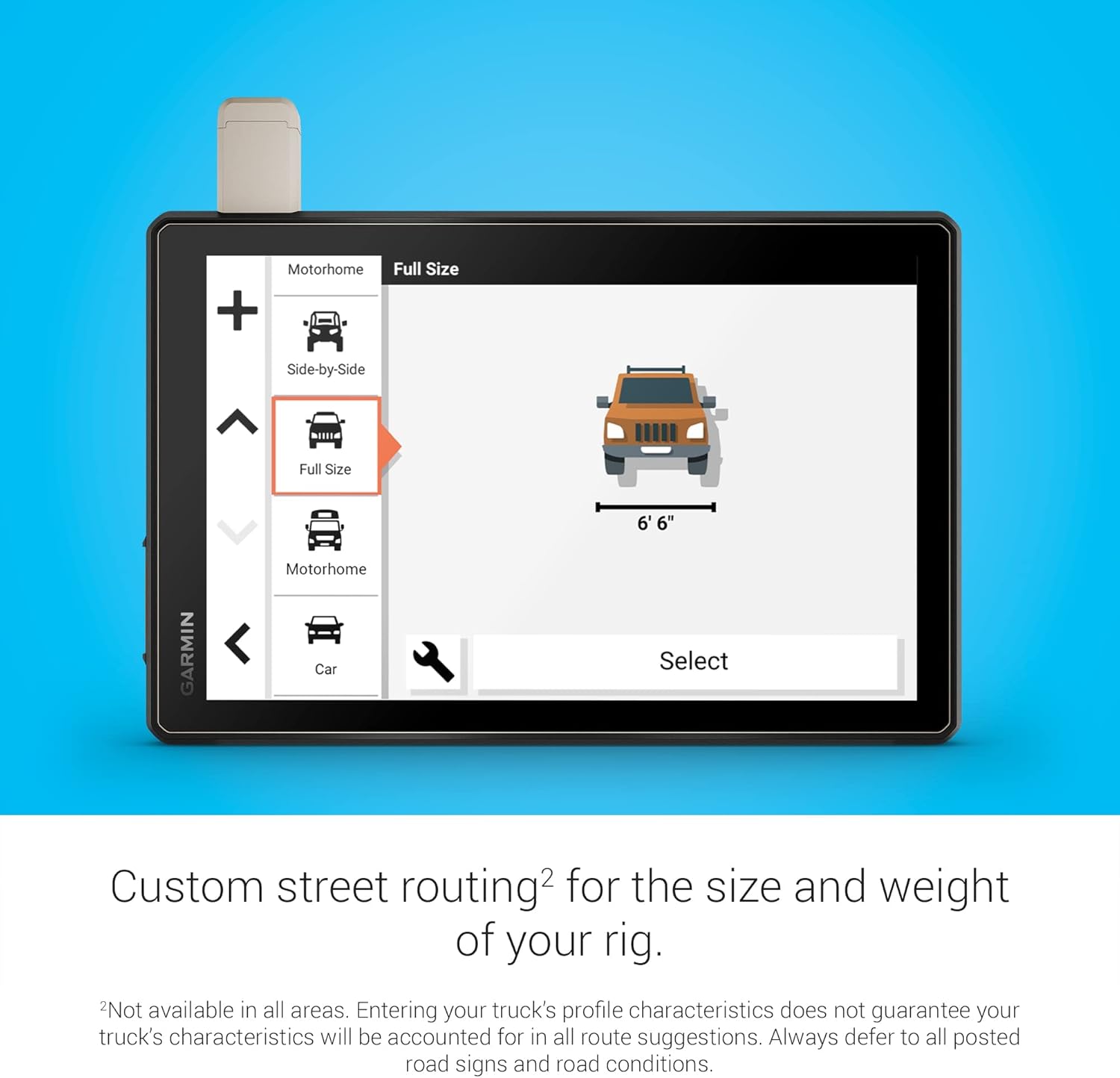
- Comprised of OSM and USFS Motor Vehicle Use Maps, City Navigator road maps for custom street routing take into account the size and weight of your rig. (Not available in all areas. Entering your vehicle’s profile characteristics does not guarantee your vehicle’s characteristics will be accounted for in all route suggestions. Always defer to all posted road signs and road conditions.)
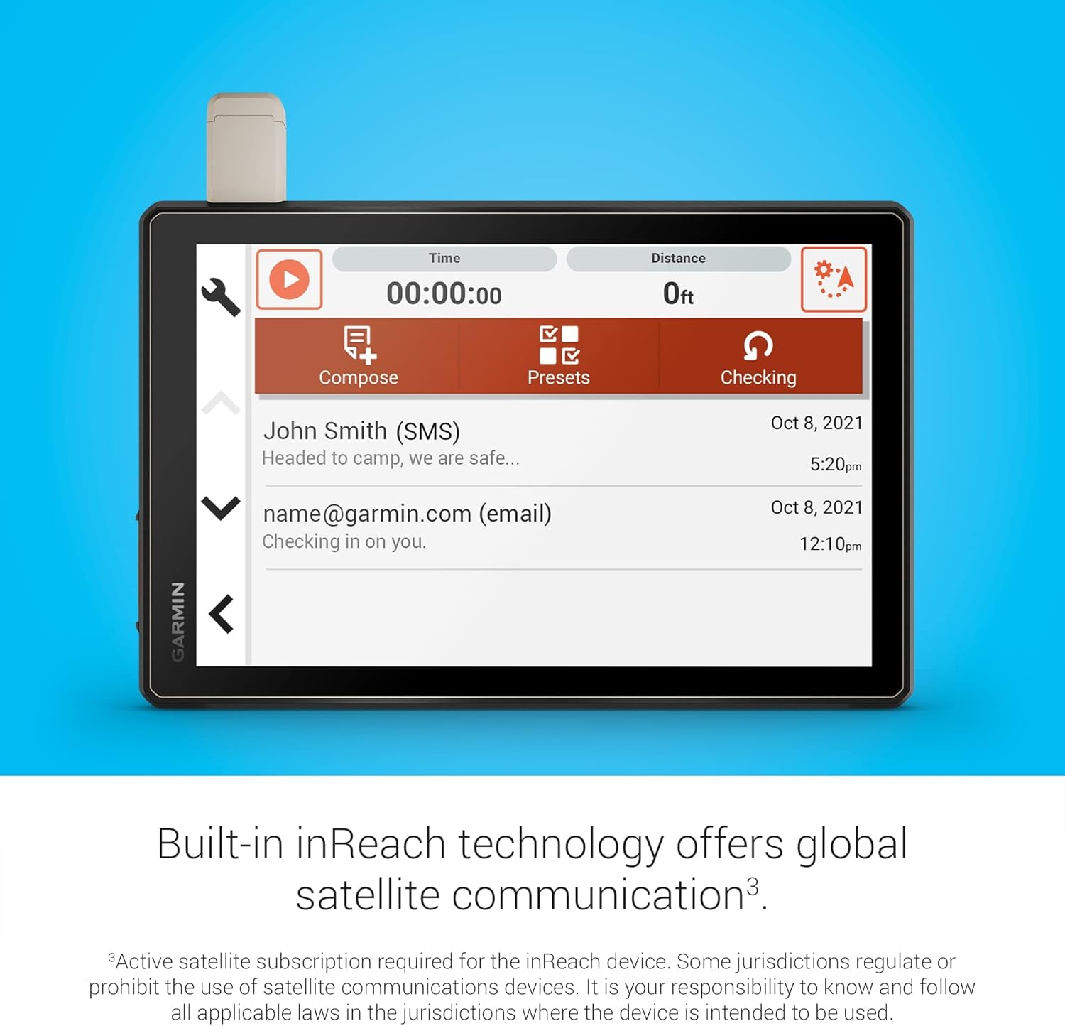
- Preloaded topographic maps with 3D terrain of North and South America, U.S. public and private landowner information and subscription-free BirdsEye Satellite Imagery via direct-to-device download. Built-in inReach technology offers global satellite communication, two-way text messaging, location sharing and interactive SOS.


Bestseller ranking
Sets


Customers who viewed this product also viewed
Blue Sky Planners & Calendars


Correction of product information
If you notice any omissions or errors in the product information on this page, please use the correction request form below.
Correction Request Form